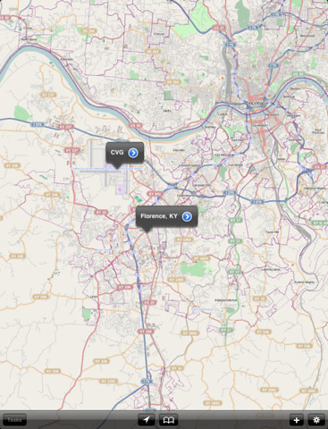
Something in the GIS world caught my attention today and I think you GIS folks should hear this. It seems that some GIS professionals believe that CartoMobile is the best mobile GIS app for the iPad!
The bold statement can be found in a press release recently released by CartoMobile to announce the launch of CartoMobile 1.1, an iOS app that is designed for the iPhone and the iPad. It was previously known as Cartographica Mobile and for some unknown reasons, the developers now gave it some new brand name. The mobile GIS app uses OpenStreetMap as base maps and it seems to support ESRI shapefiles and a few well know raster file formats such TIFF, GeoTIFF and GeoPNG. I couldn’t find its full technical specs and I’m very disappointed with that. Let’s see what we have so far.
CartoMobile 1.1: Killer Descriptions
CartoMobile is designed for field data entry and visualization, with an emphasis on compatibility with existing SDI (Spatial Data Infrastructure) to integrate into existing workflows and allow for new ones.
The key benefit of any mobile product is the ability to see the world directly in your vicinity. CartoMobile integrates with the GPS in the iPad and iPhone to bring your immediate world in to focus at the touch of a button.
How does it work and how does it look like?

ClueTrust (the people behind CartoGraphica for Mac OS and CaroMobile 1.1) has kindly provide us with a short CartoMobile Getting Started screencast video (requres the Apple QuickTime plugin). Take a look!
Where can we download CartoMobile 1.1?
CartoMobile 1.1 is currently priced at $79.99 at you may download it straight from iTunes App Store.


0 comments:
Post a Comment