
I’m taking this opportunity to write a post to mark the release of ArcMap MapSpeller 3.1 extension, finally giving ArcGIS 10 users the opportunity to spell check their maps, layouts and databases.
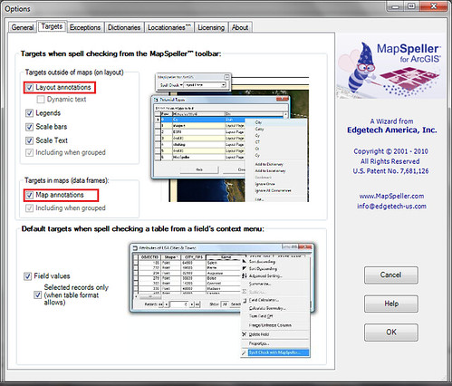
Touted to be the world’s first GIS spellchecker, MapSpeller 3.1 is able to check and rectify spelling mistakes and textual errors in tables, legends, map and layout annotations, labels and even graphics. For the time being, MapSpeller 3.1 supports US, UK and Canadian English and by default, each installation of ArcMap MapSpeller 3.1 extension will include some dictionaries and locationaries. A little bit of explanation is in order for locationaries. According to EdgeTech America Inc., locationaries are collections of properly spelled real-world landmarks and ArcGIS 10 users can use them to place correctly spelled street names, locations and landmarks. The best thing is both MapSpeller 3.1 dictionaries and locationaries are customizable and users can personalize their dictionaries and locationaries where necessary. Nice!
Please visit EdgeTech America Inc. for more information.


0 comments:
Post a Comment