
This is just a quick post to mark the release of some of the most comprehensive postcode, administrative and topographic maps of all 56 African countries. The whole huge batch is called Africa Edition 2011 but don’t worry; you may purchase only the maps you need if you want to. Where to get them? Read on to find out.
2011 Africa Postcode, Administrative & Topographic Digital Vector Maps are now available!
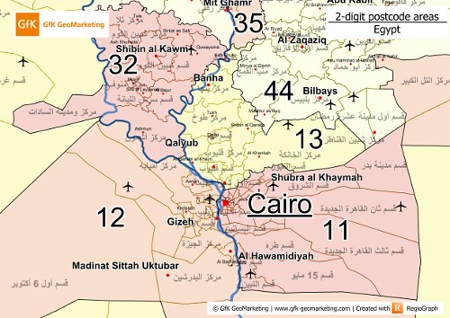
Those entire African postcode, administrative and topographic maps (in WGS84) are solely produced by GfK GeoMarketing. The African postcode and administrative maps should include recent, up-to-date information about the ever-changing African postal and administrative boundaries while the African topographic maps should include the latest population figures and other topographic features. Those maps are available in .shp (ArcGIS), .mid, .mif (MapInfo), .lay (RegioGraph), .gdb (GeoDatabase) and Oracle. No free map samples are available as of time of writing but 2 .tif files have been provided. Feel free to take a look.


0 comments:
Post a Comment