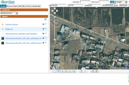
ERDAS has provided us free access to their precious datasets, enabling us to see with our own eyes the devastation that has occurred in Japan after the country was hit by a huge 9.0 magnitude earthquake and a Tsunami on March 11th 2011. How to access the datasets? Read on to find out.
Free Japan 9.0 Pre and Post-Earthquake GeoEye-1 half-meter and IKONOS 1-meter resolution aerial imagery datasets! Courtesy of ERDAS
The datasets are provided free of charge as part of ERDAS community services and ERDAS promises to add new imagery, vectors and maps when they become available in the future.
For the time being, ERDAS has pre and post-earthquake aerial images of Fukushima and Minamisanrikucho. Fukushima is of course the site of those smoking and headlines-making nuclear reactors. The pre-earthquake aerial images came from GeoEye-1 half-meter resolution data collected on November 15th 2009 and the post-earthquake aerial images came from IKONOS 1-meter resolution data collected on March 12th 2011, a day after the 9.0 magnitude earthquake and Tsunami hit Japan. You can see the utterly shocking imagery at ERDAS APOLLO client.


0 comments:
Post a Comment